Long Island Mountain Bike Guide: Glacier Ridge
It’s finally the new year, and after what feels like a few endless weeks of riding indoors, I am tired of trainer season. I long for the outdoors and during these cold weather months, I lean heavily on my favorite (and arguably the best) cycling discipline: mountain biking.
As a Long Island native, I learned and currently do most of my mountain biking out there. I’ll be the first to admit that Long Island mountain biking is an oxymoron — it would imply that Long Island has mountains to bike on, of which there are nil (see below). Don’t let this deter you! I hope with some helpful guides, we here at TBD can convince you that my hometown trails are certainly worth a visit.
A quick aside. I know the Gravel Bike Boom™ may be here to stay. Gravel roads are sparse on Long Island with a notable exception being Caumsett State Park, so if you are planning to visit and ride off-road you will likely be on singletrack. However, a good portion of the trails are rideable on CX or gravel bikes and make for great handling skills practice.
WHY YOU RIDE ON LONG ISLAND
Does it have the prettiest trails in the U.S.? Nope!
Does it have the most technical trails? No!
Is it convenient to get to from NYC? Yes! If you are lucky enough to live in Brooklyn and have a car, you can get to Long Island without tolls (I’m looking at you GWB, Verrazano Bridge, Holland Tunnel and Lincoln Tunnel). Some of the trails are also accessible by train (LIRR) which warrants some extra points!
Is it fun? You bet!
LONG ISLAND GEOLOGY
I find it’s helpful to have a little background on the place you are trying to ride to better understand the area. Long Island, as the name implies, is a ‘long’ ‘island’ (if we are getting into the nitty gritty it is technically a peninsula, but who are we kidding, Long Peninsula doesn’t have the same panache). Its geology was largely shaped by glaciation and in particular the Wisconsin Glacial Episode (which lasted from ~85,000 to ~11,000 years ago). The result:
Long Island has minimal bedrock, especially when compared to NYC and Queens, which is why tall buildings don’t exist on Long Island.
The soil make-up is largely well-draining sand and gravel due to glaciers bringing rocks and dirt over, grinding them up, and dumping them as it melted.
The glacier left two terminal moraines (a significant deposit of gravel, sand, and rocks at the end of a glacier that creates mound-like hills), which form the “backbone” of Long Island. A number of the trail systems lie along the these terminal moraines. Said plainly, Long Island is generally a flat pancake with the highest point topping out at a whopping 400ft above sea level, however, around the terminal moraines, there are some short punchy hills.
Re: terminal moraines, the two that form the backbone of Long Island have created slightly different terrains. The north shore tends to be more rocky whereas the south shore tends to be sandier.
The glaciers on Long Island left some erratics (large boulders dropped by a glacier). Keep your eyes peeled, if you see any gigantic rocks on trail, you now know how they got there.
If you’d like to find out more check out: Long Island Geology from Garvies Point Museum
HOUSE RULES
Electric Bikes are prohibited on trails on Long Island. I wasn’t aware of this until resident E-Bike specialist Shane pointed this out. I hope this changes but unfortunately this is the current rule.
Do not trespass. Many trails border homes and personal property. Trespassing is a sure way for cyclists to lose valuable trail space.
Be courteous to other park users. The trails may be shared amongst hikers, joggers, and sometimes equestrians. Be nice, patient, and pass slowly. Don’t give cyclists a bad name.
Leave No Trace. This is two fold: (i) carry any garbage out of the park and (ii) use good judgement on when to ride — if a trail has gotten too much rain and you ride it, it will contribute to trail erosion.
Always wear a helmet and long fingered gloves. This one isn’t a rule, more of a strongly worded suggestion. In the grand scheme of things, Long Island trails are not very technical but there are certainly enough obstacles that could make a fall hurt without proper equipment. Anecdotally, I was going for an easy ride by my parents’ house in a park I’ve ridden what feels like 100 times. I forgot my gloves, and didn’t want to fuss and turn back for them. Naturally, I fell and cut my hands up and was sad I didn’t heed my own advice.
CHECK FOR TICKS. The tick situation on Long Island has gotten worse over the years. During tick season, late March to early September (essentially the warm weather months), make sure, shortly after your ride, to do a quick tick check.
This post would be remiss if a shout out wasn’t given to CLIMB, Concerned Long Island Mountain Bikers, an association of cyclists that promote mountain biking and maintain trail systems on Long Island. Please check them out and support them if you can.
Now, on to the meat and potatoes of this article, a guide to one of my favorite trails on Long Island.
GLACIER RIDGE MTB Trails
Location: Farmingville, NY in the same parking lot as the Brookhaven Town Hall off of South Bicycle Path, roughly 1.25H away from NYC without traffic (Exit 63 off of the Long Island Expressway).
Train Accessible: Not within reason (however, I imagine its possible, closest LIRR stop is Medford which is a 14 min bike ride away from the trail).
Parking: Excellent, the lot is large, easy to find, free, and not usually crowded — what more could you ask for. The trail pickup is in the grass opposite of the buildings (only one entrance). When you enter the parking area it’ll be on the right near the big wind turbine. Usually you will see some cars with bike racks congregated around the area where it starts.
Seasonal Restrictions: Nope, as it currently stands, rideable all year round (weather permitting).
Bike Selection: In my opinion, optimal is a cross-country mountain bike. However, this is one of the many trails that is well suited for a rigid bike set-up (if you are on a rigid bike, there are a few areas with some drops that I would be cautious on).
Food: There are not a ton of great options nearby. As sad as it sounds, I would probably pack food or grab something at a supermarket nearby. If you know of a good food stop let me know, I could greatly benefit from this. (Editor’s Note: Try Don Taco, about a mile away and on the way to the LIE!)
Wildlife: Predominantly deer and squirrels. I think there may be a family of deer that live in these woods? Not a big issue. If you see a deer, don’t rush it. Just stop or ride by very slowly and they will move out of the way. Hunting is not permitted in this park, even during hunting season.
Trail Summary: The trail system is anchored by a roughly two mile blue main loop that has eleven-ish miles of optional blue/black trails. The trail system is one way, predominately used by cyclists, and well marked which makes it easy to navigate. There are a few junctions (areas where a number of trails start / end), which makes the system sessionable. Like most ski and mountain bike parks, the color ratings (green, blue, black) are relative to the trail system. In my personal opinion, not all blacks here are created equal and there are some easier ones (C-83, Sidewinder, The Ridges) that I think are closer to blue than black. Additionally, I’d say almost all the black trails are fairly welcoming / good for riders that are ready to test their skills. There aren’t any big rocks, drop offs, or cliffs that make it particularly dangerous and it’s easy enough to walk over any features you are not ready to ride.
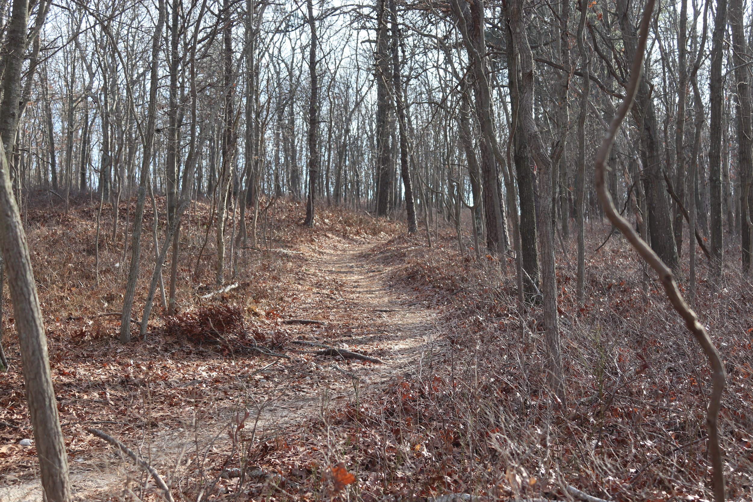
The trail is characterized by being flowy, smooth, and windy (all reasons that make it my favorite!). These trails drain very very well, and are therefore are a good choice if it has recently rained. For Long Island, Glacier Ridge does have a good amount of climbing / descending, ~1,000ft if you ride the whole thing, as the trail lies on the Ronkonkoma moraine.
Other Glacier Ridge MTB Notes
If you are looking for an extra long day on the bike, there is a nifty connector path that takes you to Overton Preserve which has another 17 miles of trails and will get its own post. The connector is a left turn off of “Dark Side of the Moon Extension.” There is usually a sign and a shovel on a tree marking where the connector trail starts — as an FYI, CLIMB has moved the connector trail up 100yds from where it previously started.
This may be a ‘me’ issue, but I struggle to navigate “Eclipse.” It’s a fun short route that has a few half pipe-like turns but if you are not paying close attention you can end up stuck on it like a hamster on a wheel. To exit Eclipse, you will circle back to an intersection with a sign that says “Eclipse”, its after a downhill that you will have already ridden to the get to the trail. Look to the left of the sign and you will see another sign that says “Dark Side of the Moon”, follow that.
There is a trail called “No Trespassing” (a bit tongue-in-cheek). It’s a fun trail you should ride, should you find yourself upon it.
Be careful as there are some very narrow trees on the trail that like to eat handlebars — I’ll often put a foot down as I have no interest in cracking a handlebar.
Favorite Glacier Ridge MTB Trails
C-83 South: This is the first trail you can take off of the main loop. It is short, sweet and smooth. Not a ton of climbing and a lot of flow. Every time I ride this trail it always makes me think that I should ride in Glacier Ridge more.
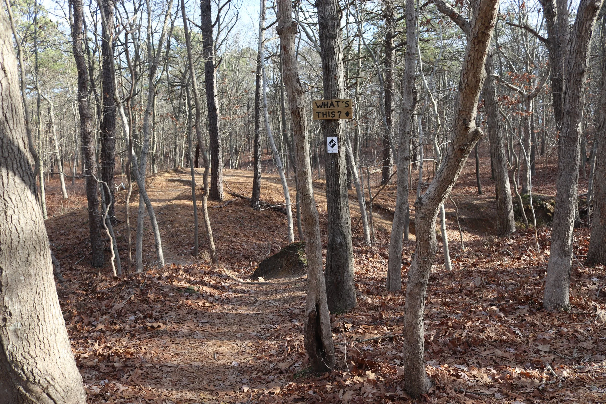
What Goes up Must Come Down: This trail has a good deal of variety and a lot of fun small offshoots (see “What’s This?” and the “Memorial Loop”). The ratio of mild uphills to fun downhills is great. My favorite downhill is right after the Memorial Loop which has a few fun chutes.
White Ghost: This is where I live out my imaginary Enduro daydream. You pedal uphill for a bit and work up a good sweat. Then you get to ride downhill on some sweeping trail. The downhill has some fun kickers that you can get a little bit of air on.
All that’s left to do is to find a nice enough day, pack your things, and get on out there!


